




0.0 / 5
How satisfied were you with the behaviour and cooperation of the staff?
Panchayat AdministrationA Grama Panchayat is a democratic institution of local self-government comprising elected representatives entrusted with the responsibility of administering and governing the local area. It serves as an important grassroots institution in the Panchayati Raj system, functioning as the primary body responsible for implementing the decisions and resolutions of the Grama Sabha and ensuring the effective delivery of public services.The Grama Panchayat plays a vital role in planning and implementing local development programs, promoting public welfare, maintaining essential civic services, and facilitating participatory governance.
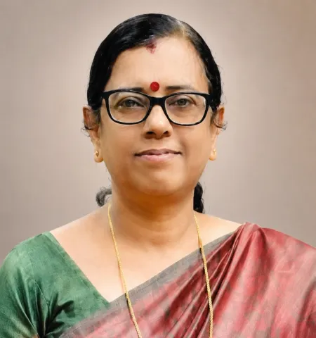
President
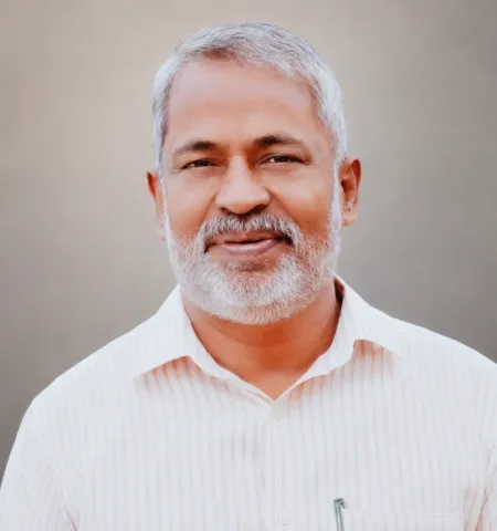
Vice President & Chairman Standing Committee for finance
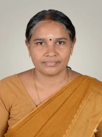
Chairman, Standing Committee for development

Chairman,Standing Committee for Welfare

Chairman,Standing Committee for Health and Education
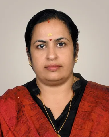
Secretary, Grama Panchayat

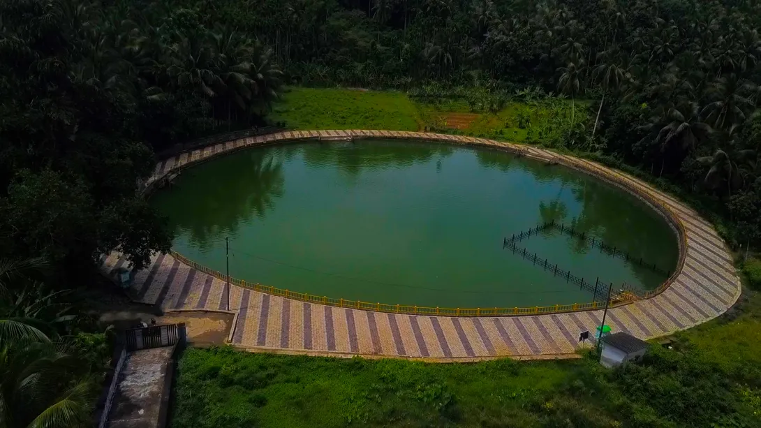
Ananganadi is a nature-rich rural region located in Palakkad District. Known for its agricultural heritage, social harmony, and cultural diversity, the area is an active Grama Panchayat that implements development initiatives through strong public participation. Making significant progress in the fields of education, healthcare, sanitation, social welfare, and agricultural development, Ananganadi Grama Panchayat continues to move forward on the path of sustainable development. Ananganadi Grama PanchayatGeneral InformationAnanganadi at a GlanceAnanganadi is a nature-rich rural region located in Palakkad District. Known for its agricultural heritage, social harmony, and cultural diversity, the area is an active Grama Panchayat that implements development initiatives through strong public participation. Making significant progress in the fields of education, healthcare, sanitation, social welfare, and agricultural development, Ananganadi Grama Panchayat continues to move forward on...

Download Now



Based on its topography, Ananganadi Grama Panchayat, which falls within the midland region, can be broadly divided into four geographical categories: elevated hilltops, sloping areas, low-lying regions, and paddy fields. Ananganmala, Pakkimala, Randumalakkadu, Nilavarakkadu, and Aarukadu are some of the prominent hills located within the Panchayat. Much of the land extending down the slopes from these hills has been terraced and made suitable for cultivation by the local people. The Panchayat is generally characterised by fertile, laterite-rich soil. Paddy cultivation is carried out as single and double crops over a total area of 1,294 hectares. Coconut, banana, tapioca, and rubber are among the other major crops cultivated in the Panchayat. The Kanjirapuzha Canal ensures the availability of water for the...
Read More